
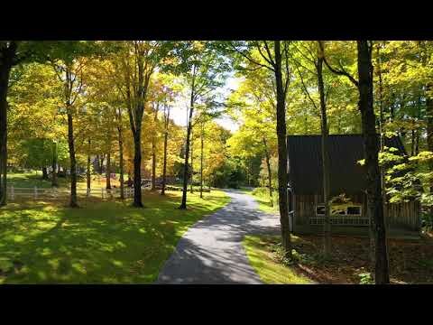
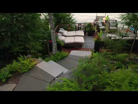
Drone Services
PAI is proud to be an innovative leader in the Green Industry - we were one of the first companies to introduce the use of important advancements such as tree protections on construction sites, using excavators with hydraulic thumbs for boulder placement, and implementing the use of suction lifts for hardscape installations. Now, once again, we are pushing the boundaries of innovation by using cutting-edge drone technology to expand our service offerings for aerial imaging and data collection.
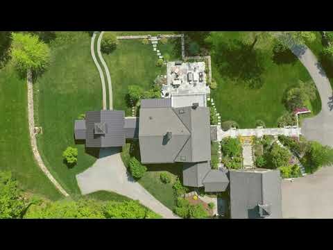
Real Estate Photography
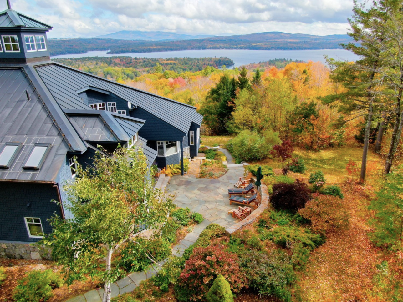
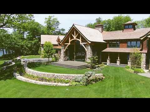
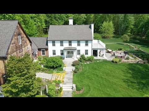
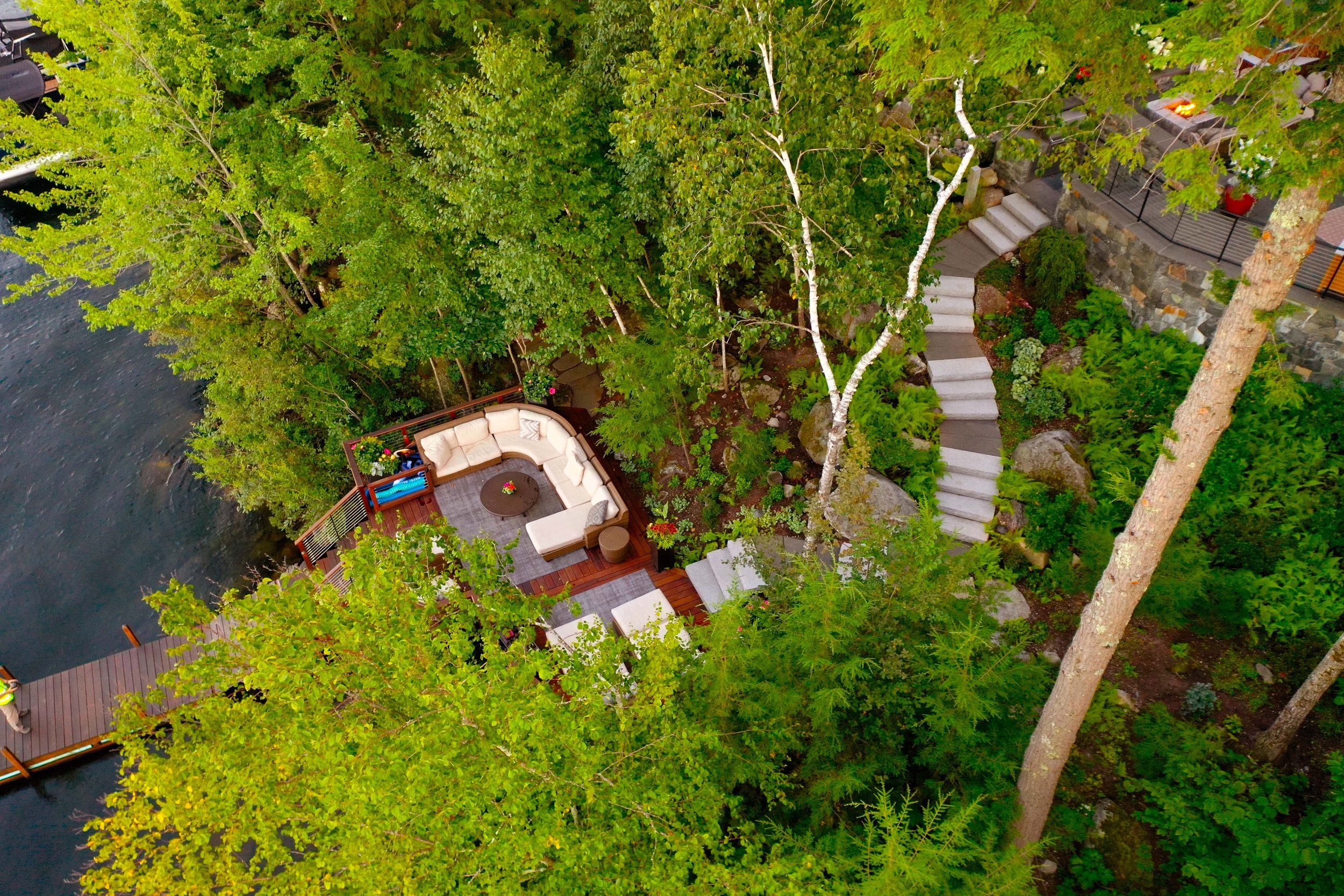
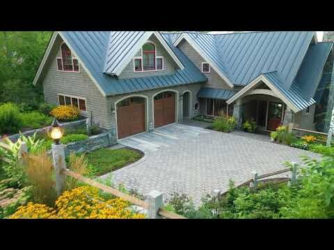

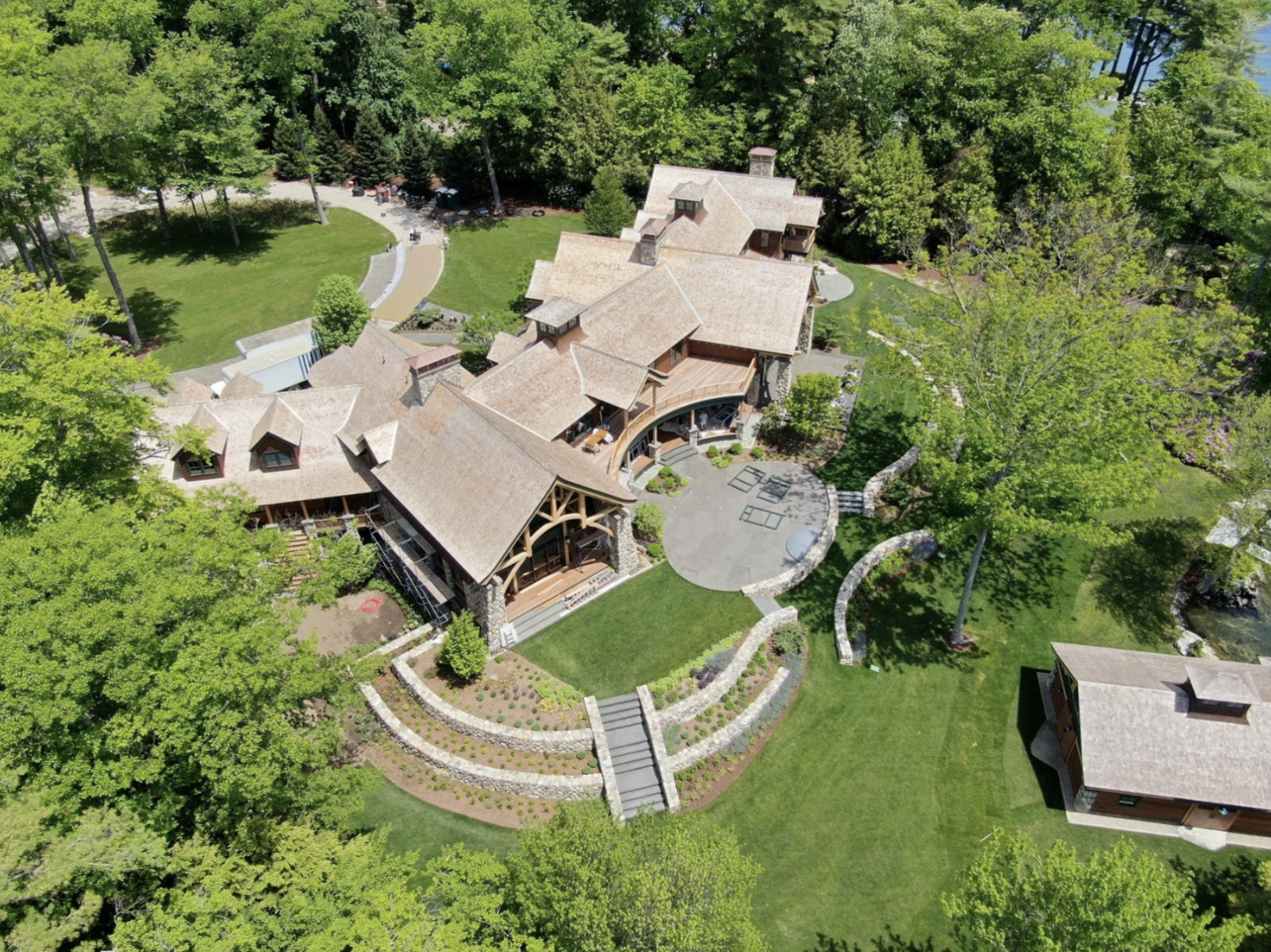
A licensed drone pilot will schedule a time to fly and photograph the property. Our offerings include external photography only, no interior photographs. This package is perfect for real estate agents looking to bring their listings to new heights!
- Roughly $800 -
What You’ll Receive
All content we capture on the property - available for download
A minimum of 15 high-resolution photos
3-5 high-definition aerial video clips
3-5 high-resolution panoramas
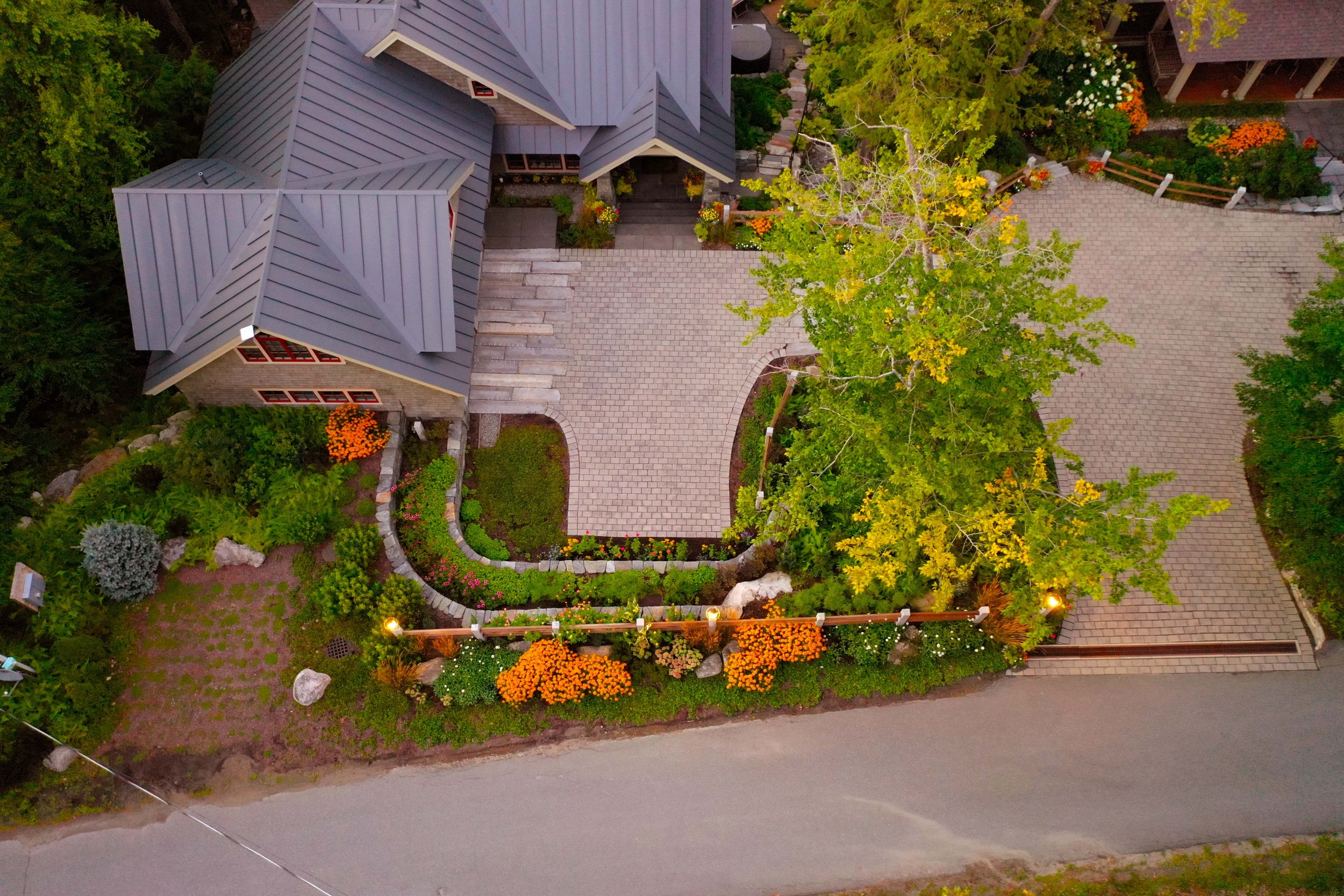
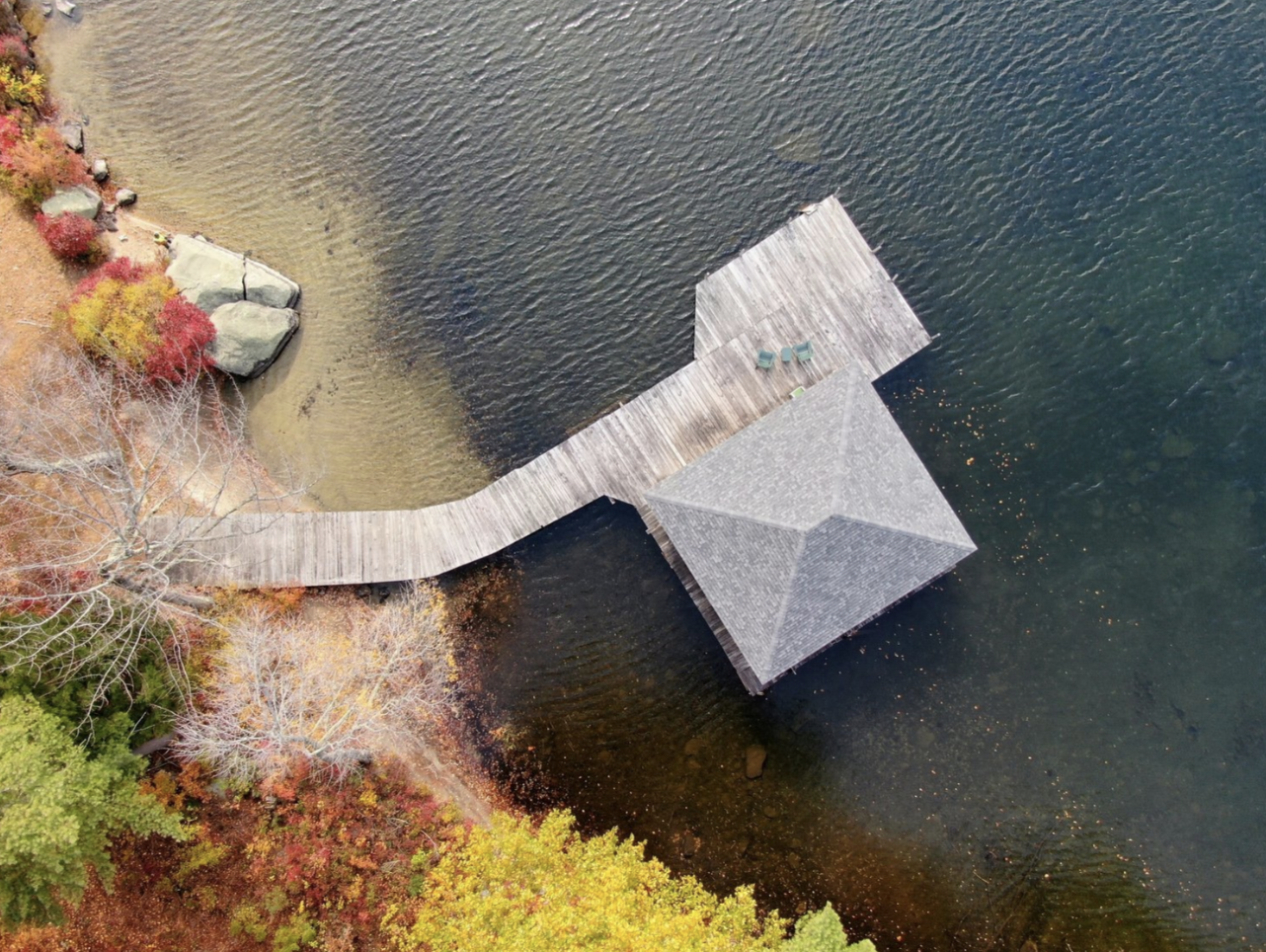
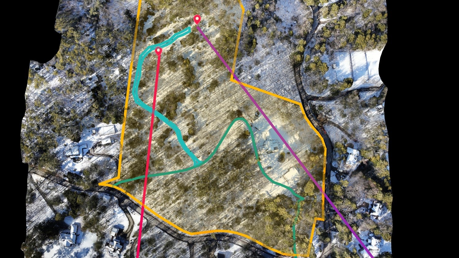
Land Mapping & Modeling
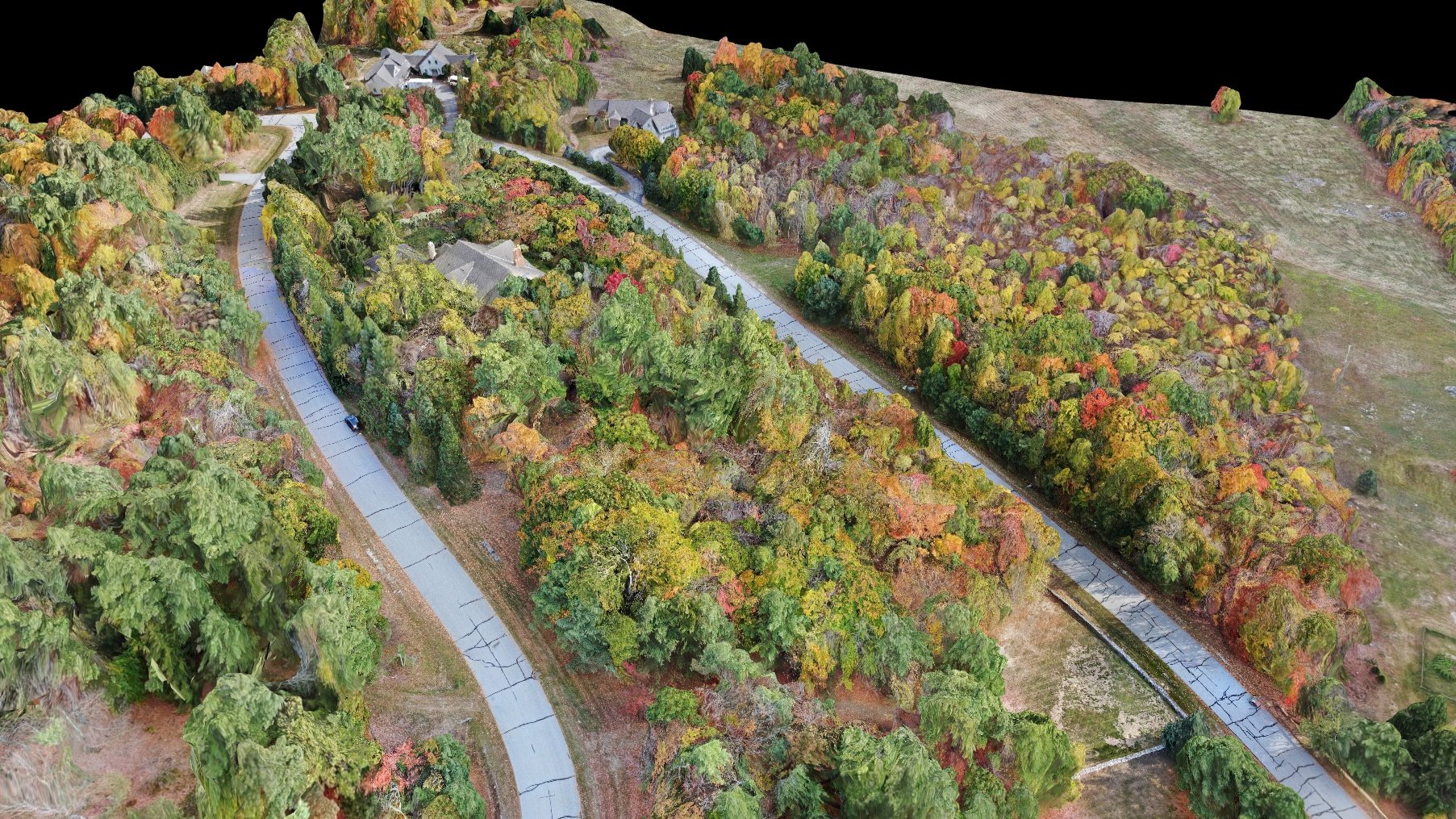

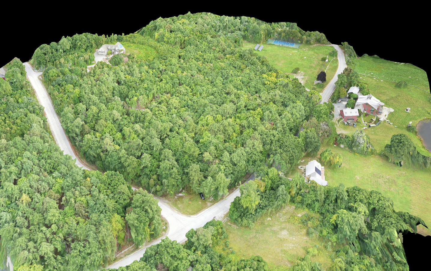


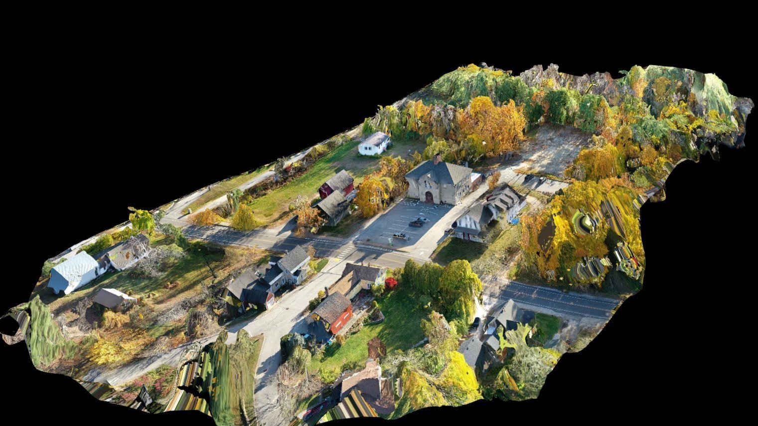
Looking to get an up-to-date aerial 2D Map or 3D model of a property? This package is ideal for properties of any scale, and will help you plan for making improvements to the land. We can capture properties less than an acre in size, and even properties over 300 acres.
- Roughly $2,500 -
What You’ll Receive
All content we capture on the property - available for download
Access to a 2D map of the property that users can self-navigate.
3D Model of the property that users can self-navigate
Exported files of the map and model that can be imported into design software as a base
Optional annotations to visually identify (and approximately measure) things like property boundaries, setback zones, spot elevations and more. Let us know what you want captured, and we’ll include that in our data.
View ANALYSIS & LAND PLANNING
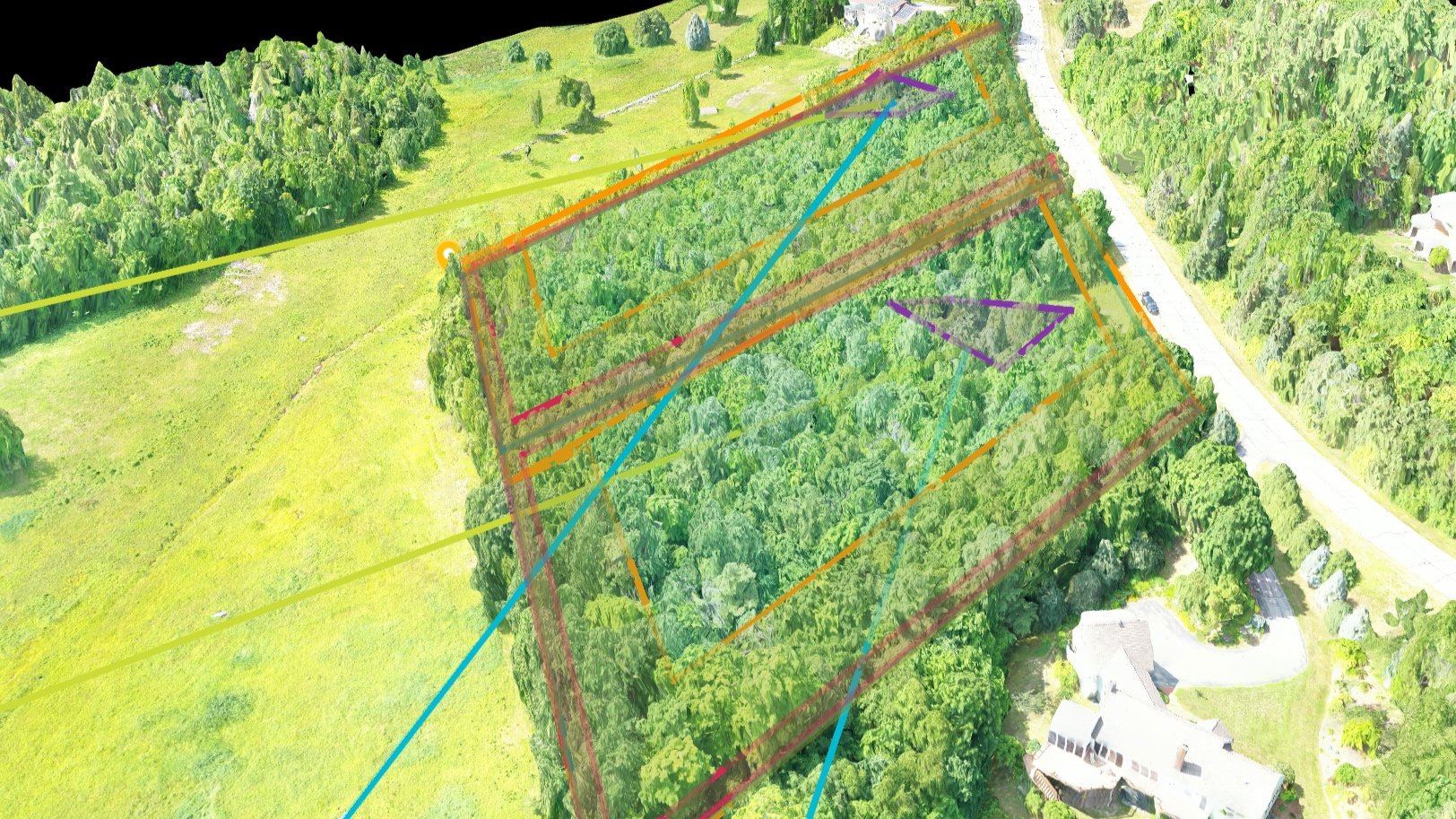
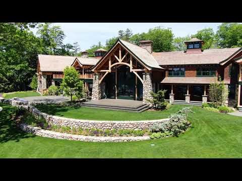
Ideal for evaluating and discovering view potential from an undeveloped lot, or for a property that is looking to make land planning improvements.
- Roughly $6,000 -
What You’ll Receive
All content we capture on the property - available for download
Access to a fully interactive 3D map and model of the property that users can self
navigateA deeper understanding of the state and town regulations as they relate to
the development of the propertyA 45-minute to one-hour recorded zoom meeting to debrief the results or findings
Ongoing support to help navigate the sale
OUR PILOTS
FAA Certified & Approved for Commercial Operations
FAA Certified Pilots - Our drone pilots have their Part 107 UAS FAA license/certification, which allows them to legally fly & operate UAVS (drones) in a wide range of applications.
Fully Insured - We are fully insured and approved to operate a drone on your property.
Experience - We’ve been flying drones for a wide range of applications and environments since 2019 and look forward to working with you on your next project.


FEATURED IN:


“Listing agents who use drones for real estate can see an increase in listings as high as 73%, and deal closing increases as high as 68%. ”
Don’t see what you’re looking for? Contact us to discuss other custom offerings you would like to explore!